Proving that an old Doug can learn a new trick, I just completed a 550-mile circuit of three of Spain’s caminos de Santiago on my foldable Brompton G Line bicycle.
I’ve previously hiked six of these ancient Catholic pilgrimage routes. This is the first time I’ve ridden one on a bike. The Brompton bike, which has 20-inch wheels and folds to fit in a large suitcase, is also new to me, and I confess to having harbored doubts that either I or the bike would be up to this adventure.
But I am happy to report that both me and the bike proved worthy. I had a great time. I was extremely pleased with the bike’s performance and am looking forward to the next adventure together.
The loop I rode, which started and ended at the cathedral in Santiago de Compostela, included 44,193 feet of climbing. I opted to ride a loop because it was more convenient and less expensive for me to store the bike’s travel case in Santiago and start and end the ride there.
 |
| Brompton in its travel case |
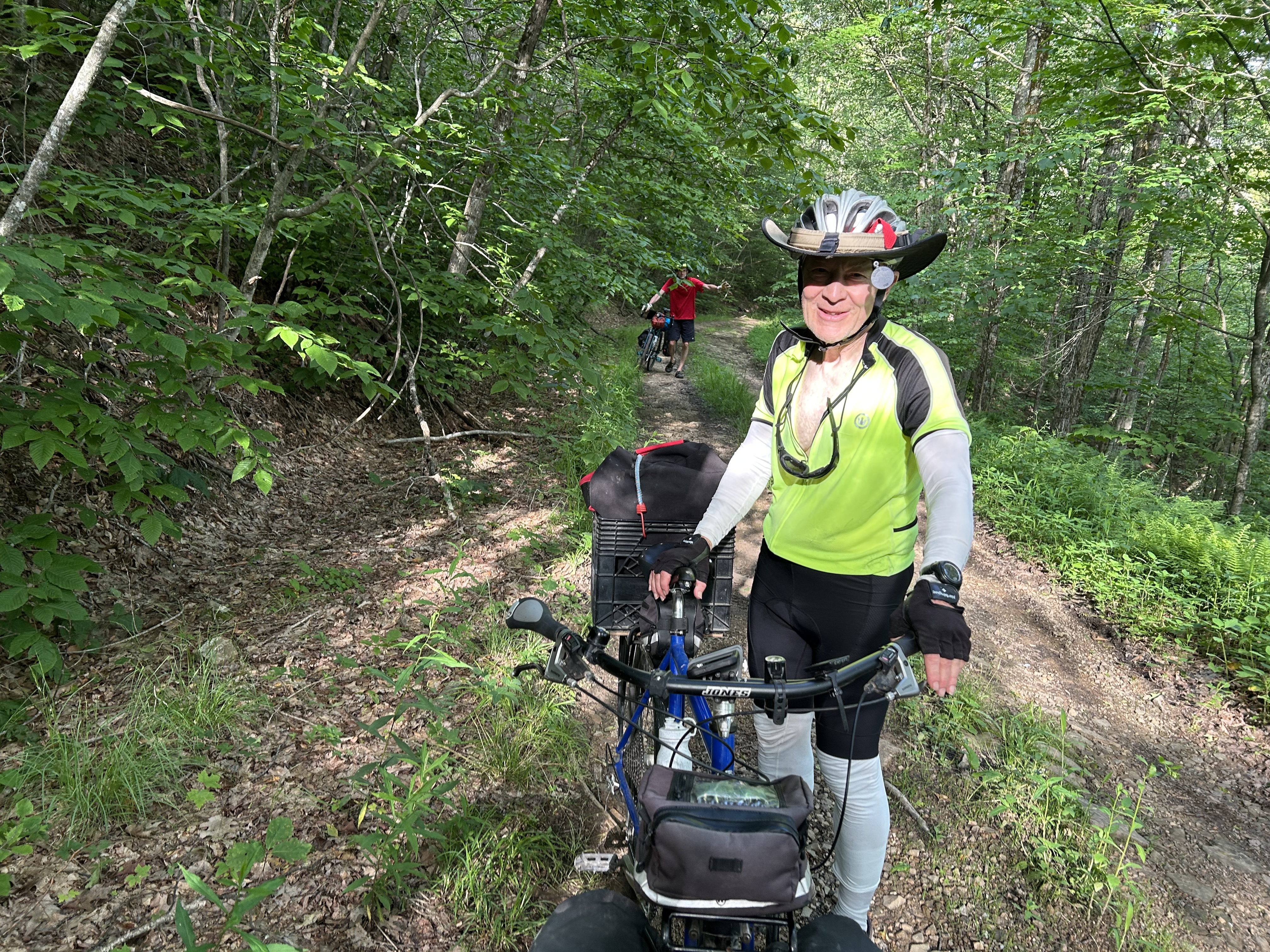
I tried to ride as much of the dirt and gravel on the camino hiking paths as reasonably possible.
But I had to walk (and/or carry) the bike through some of the dirt on the Sanabres route (first path south). Parts were too hard, or too steep, for me to ride.
Much of the dirt hiking path on the San Salvador route between Leon and Oviedo (north), was unridable, as I discovered, at least for me. After the first day of struggling on that one, I switched to paved alternatives.
The gravel on the Camino del Norte, the camino I took back from Navia to Santiago, however, was virtually all ridable, and I enjoyed every moment of this camino, except, perhaps, the one daylong ride in the rain.
 |
| Folded for the bus ride to Navia |
One modification I’m glad I made was to swap the G Line’s 54-cog standard chain ring for a 44 to give the bicycle lower gearing. With the 44, I still had to push the bike up some of the route’s steeper inclines. With the 54, I would have had to do a lot more walking.
I also was glad I converted the tires to tubeless, especially after I met another cyclist who complained that he got two flats in a single day with his tubed tires. I got zero. The fewer flats, the better, as far as I am concerned.

The caminos de Santiago are ancient Catholic pilgrimage routes that cross Spain and converge on the cathedral at Santiago de Compostela, where the remains of Saint James are said to be entombed.
Every year, hundreds of thousands of peregrinos, or pilgrims, hike one of these routes, citing religious, spiritual or other reasons.
I’ve now hiked six caminos and ridden three, and I believe that each transportation mode has its own merits and is worth experiencing.
Riders miss some of the camaraderie that ensues when hiking with the same group of people over a longer period of time.
But riders cover more ground more quickly and have the opportunity to meet a lot more people. I think it was easier than usual for me to meet people with the Brompton, because it attracted a lot of interest and comment.
Great ride and good icebreaker. Five stars.
 |
| It's a wrap! |