Tuesday, September 8, 2020

C&O Canal trail shakedown ride

If you are eager for company while riding the 184.5-mile C&O Canal trail linking Washington, D.C., to Cumberland, MD, plan your trip for a fair-weather Labor Day weekend and you won’t be disappointed.

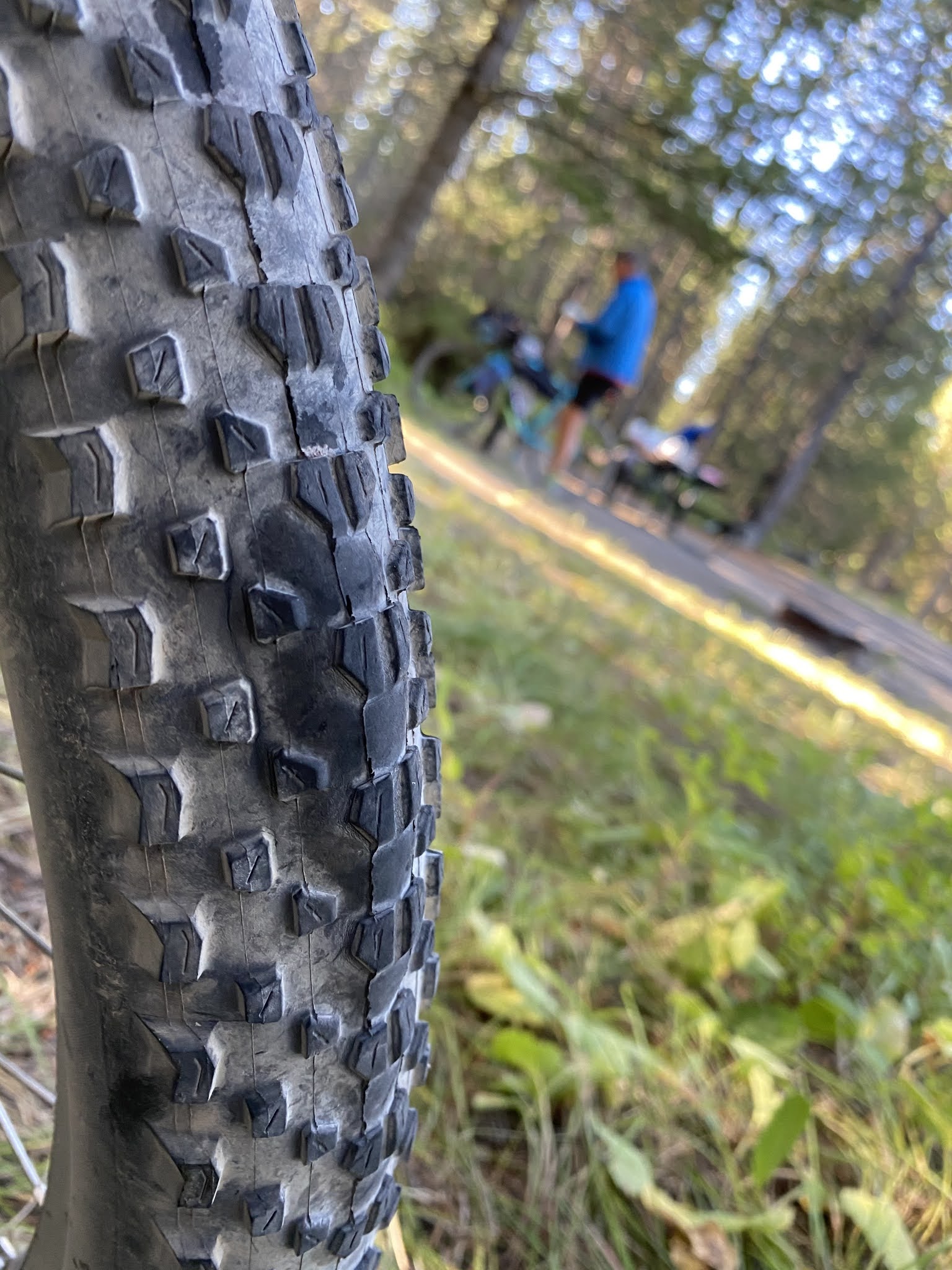
Alas, as I discovered during a three-day shakedown tour on the trail during the recent holiday weekend, the throngs of touring cyclists—along with the multitude of wagon-hauling parking-lot-to-campsite-hiker/campers—means breathing room may be scarce in the national park’s 31 free hiker-biker campsites.


I lucked out on the first night of my weekend adventure after 77.5 miles in the saddle when a generous group of families invited me to set up my tent at their paid drive-in Antietam Creek campsite at Mile 69.6—after finding that the Huckleberry Hill hiker-biker site where I had intended to camp at Milepost 62.9—was already jammed.

Antietam Creek

On my second night out, I shared the airier White Rock  Hiker-Biker site at Mile 126.4 west of Hancock MD with five other extremely courteous touring cyclists and never felt that personal space was lacking.


I originally planned to do the return ride home in two days but got ambitious and rode the entire 133.3 miles on my third day out.


Encouraging me was that the park service has dramatically improved the tow path’s trail surface over the past several years. In fact, more than 40 miles of the trail between around White’s Ferry MD to the cut-off to Shepherdstown, WV, is now covered with packed rolled gravel that rides like asphalt.


Improved surface


My bike redesign proved itself to be a tremendous success. By swapping out my rear rack and panniers for a seat postpack and handlebar harness, and then packing far more judiciously, I cut 10 pounds from the bike’s overall load. I could certainly feel the difference in weight during the riding and was able to rev up my traditional pace by up to several miles per hour.


For me, it’s the aerobars—the handlebar attachments that allow me to carry much of my weight on my elbows instead of on my hands—that makes the longer rides possible. When you get them tuned just right, you can cruise comfortably on them for many miles.


When I do this route again—possibly adding the 150-mile Great Allegheny Passage connecting trail linking Cumberland to Pittsburgh—I will use a hammock instead of a tent. I have found that my tent collects too much dew and vapor condensation on this trail, which meanders along the Potomac River.


The hammock also makes it far easier to “stealth camp” along the trail if and when the designated campsites are overly congested.


Home 133.3 miles later


Wednesday, September 2, 2020

Riding the GDMBR


Photo: Jim Ketcham-Colwill

A high-quality water filter is an absolute necessity for the Great Divide Mountain Bike route, because potable water is not always readily available along the trail.

In fact, over some parts of the trail, and particularly through the long sections of desert south of Pinedale WY, much of what little surface water my friend Jim and I saw while riding through this area earlier this summer was not only not potable, but polluted with cow manure as well.


So especially in the desert, top off your bottles whenever you can, and always carry enough water to get to the next reliable water source.


Speaking from recent experience, I recommend an early start on GDMBR rides, and particularly those through the Wyoming desert, both to avoid as much afternoon heat as possible and to increase your likelihood of getting to your destination before dark. In addition, I would recommend that you carry a powerful bike light.


Jim and I were benighted three times between Pinedale and Steamboat, mostly due to getting late starts for a variety of reasons, including having to wait for the Rawlins Post Office to open one morning to pick up an errant resupply package. The fact that many of the roads were more challenging than we anticipated also was a factor.


My dim little headlamp proved to be of little use for navigating these rough desert roads in the dark. The going was enough of a challenge in most places on the trail under a blazing desert sun.


I think most people who attempt to ride the GDMBR agree that less is more when it comes to how much gear to carry. I know I felt every extra ounce of unnecessary baggage over the 898.4 miles I ultimately rode between Butte MT and Steamboat in August.


I ditched more than five pounds of extra clothes and gear in Pinedale, and I am hoping to cut an additional 10 pounds from my rig before attempting another trail section next year.


Also important to consider is that between Pinedale and Steamboat, there really aren’t many formal campgrounds near the trail. That means you will need to figure out how to prepare your meals without a picnic table. In addition, you will need to become adept at digging your own cat holes and taking care of your personal business, often without much more than some scraggly sagebrush for cover.


A final word of advice: If you want to ride this trail, start training on hills pronto, and the steeper and longer and rougher those hills the better, because that’s what you are going to get on the GDMBR.


Photo: Jim Ketcham-Colwill


Tuesday, September 1, 2020

Bearly there

Mosquito Lake at sundown

 Late in the afternoon last month, my friend Dave and I were sitting on the edge of the remote, sun-baked dirt mountain road to Pinedale WY, after the hellacious hike-a-bike up through the Union Pass area of the Great Divide route. We were having a snack when a man wearing a large Stetson approached slowly on an ATV and apologized for his dust. He looked like the Marlboro man. A rancher, we assumed.

He looked us over, then warned us that he had seen six grizzly bears in the area earlier that day. The bears were feeding on dead cows (apparently one of the bears was killing calves) and that it would be in our best interest to ride another 25 miles down the road to get out of their range, he said. This seemed like a reasonable suggestion to me.


But a few miles down the trail, we stopped to camp for the night at Mosquito Lake. We were worn out and didn’t have sufficient sunlight nor the will to travel farther.


To avoid attracting bears to our campsite that night, we carefully hung our food, aromatic toiletries, cooking utensils and trash high in a tree before retiring to our tents. I brought my bear repellent into the tent with me and soon fell into the deep sleep experienced by people who ride bikes up through steep mountain passes all day.


I awoke just before dawn to an eerie chorus of howls from wolves or coyotes but there was no sign of bears and the food bags were still safely hanging.

Mosquito Lake at dawn


It wasn’t until we were packing after breakfast that I discovered that I had forgotten to hang one item for the night: A large open bag of teriyaki-flavored beef jerky. It had spent the night beside me in the tent, in my hydration backpack. Even I could smell it from a couple of feet away.


I may as well have been sleeping on a slab of raw salmon or on a bed of bacon grease, I thought. I’m not sure what the chances are that a grizzly would attack somebody in their tent, even if they were wearing meat clothes like Lady Gaga.


But all authorities warn against storing food in a tent in bear country. Thankfully the bears had better things to do that night than harass a foolish gray-bearded cyclist who knows better than to tease them.

The rubber meets the road


On the Great Divide Mountain Bike Route, you are only as good as your rubber.

At least that’s a key lesson my friend Jim and I both learned recently while riding a section of the mostly dirt and gravel trail linking Canada and Mexico, after we each had a Maxxis tire fail.


My Maxxis Ikon tire developed a series of disturbing bubbles in the tread in a remote corner of Idaho. The tread was somehow delaminating. I had spare emergency tubes for my tires, which were set up tubeless, but no spare tire. So I had to backtrack about 20 miles through a mostly unsigned network of rough wilderness snowmobile and forest service trails to purchase a suitable replacement in West Yellowstone MT.


Adding spice to the quest, my only navigation device for the ride to West Yellowstone from the Big Springs campground near Island Park Idaho was my Google Maps app, and it stopped working in the middle of nowhere with nobody around half way to town.


Saw a large bear print, possibly of a grizzly, in this very soft rail trail heading to West Yellowstone

Fortunately, just as I was considering that panic might be my best and only realistic option, I discovered a crudely marked wooden sign pointing toward West Yellowstone. I then guessed the right direction to the tourist town at a couple of subsequent unmarked trail intersections. Finally the Google Maps app started working again.


After I bought the new tire, it took me three days to catch up with Dave and Mike, the crew I was riding with at the time. I caught up with the duo in Grand Tetons National Park, after a white-knuckled shortcut through the almost bumper-to-bumper Yellowstone National Park traffic.


I finally caught up with Dave and Mike


One of Jim’s Maxxis Minion tires developed a similar bubble issue a week later near the historic Wyoming town of South Pass.


With the assistance of the proprietor of Wild Bill’s B&B in nearby Atlantic City, Jim was able to hire a shuttle ride to a Lander WY bike shop, where his tire was replaced.


Jim's shuttle to Lander

The unanticipated delay forced us to do a longer-than-anticipated 82-mile ride through the desert the next day so we could remain on schedule to pick up resupply packages at the Rawlins post office before it closed for Sunday.


The best way to protect yourself from the inconvenience that results from a wilderness tire failure would be to carry a spare. But that’s not likely to be a realistic option for many GDMBR riders,  because they’re striving to keep the load of their weights down, and tire failures, unlike simple flats, are not all that common.


You can’t bring a whole bike shop along with you on a ride. Some problems you just have to deal with as they arise, and then look at those as part of the adventure.


Colorado Trail

Snowy morning at Baldy Lake After 353.1 miles, more than 65,000 feet of climbing, and a week of hard frosts, hail, sleet and even a bit of s...