 |
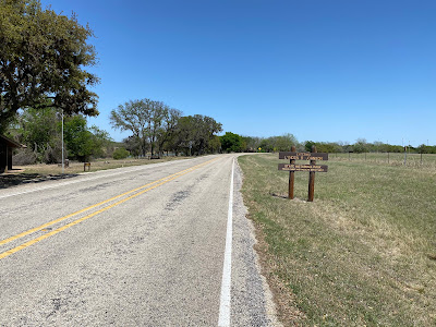
| Ranch road |
It was so cool this morning that I wore my fleece jacket for the first 40 miles of my ride through the very lightly-trafficked ranch roads, and that was very nice.
But when I reached Fredericksburg TX, I noticed that a headwind was starting to blow from the east.
If I stuck to the Adventure Cycling Association route, I could see from the map that I would have to battle that wind through a series of rolling hills for another 40 miles to reach Johnson City, where I had already reserved a hotel for the evening.
Or I could follow the Google Maps route recommendation, which Google said was virtually flat and 10 miles shorter.
I opted for the Google route.
Even though I obviously lived to tell about it, I made the wrong decision.
The problem with the Google route was that most of it was on Hwy 290, where the shoulders ranged from just OK to dangerously inadequate or even nonexistent.
This was along a four-lane highway that had heavy bursts of speeding traffic.
On a couple of occasions, I considered turning around to get back on the longer ACA route, but the shoulders on the other side of the highway looked just as bad or even worse.
So I pedaled on, stopping and getting off the road into the roadside weeds whenever the shoulder disappeared and I noticed a pod of heavy traffic bearing down on me.
When I finally got to Johnson City, the hotel clerk said part of problem was that the highway’s shoulders had been narrowed to accommodate a turning lane in the road’s center so cars could more easily access the wineries on both sides of 290.
I’m surprised Google would recommend this route for bicycles. It was one of the scariest, most dangerous bicycle rides I have ever done.
DM: 72.3; TM: 1,684.6; 8:11 hrs riding; 8.7 mph avg; 2,811 climbing
 |
| Roadside wildflowers |
 |
| National Museum of the Pacific War, Fredericksburg |
 |
| Lyndon B. Johnson historical park |
 |
| Hwy 290 winery and hotel |
 |


No comments:
Post a Comment